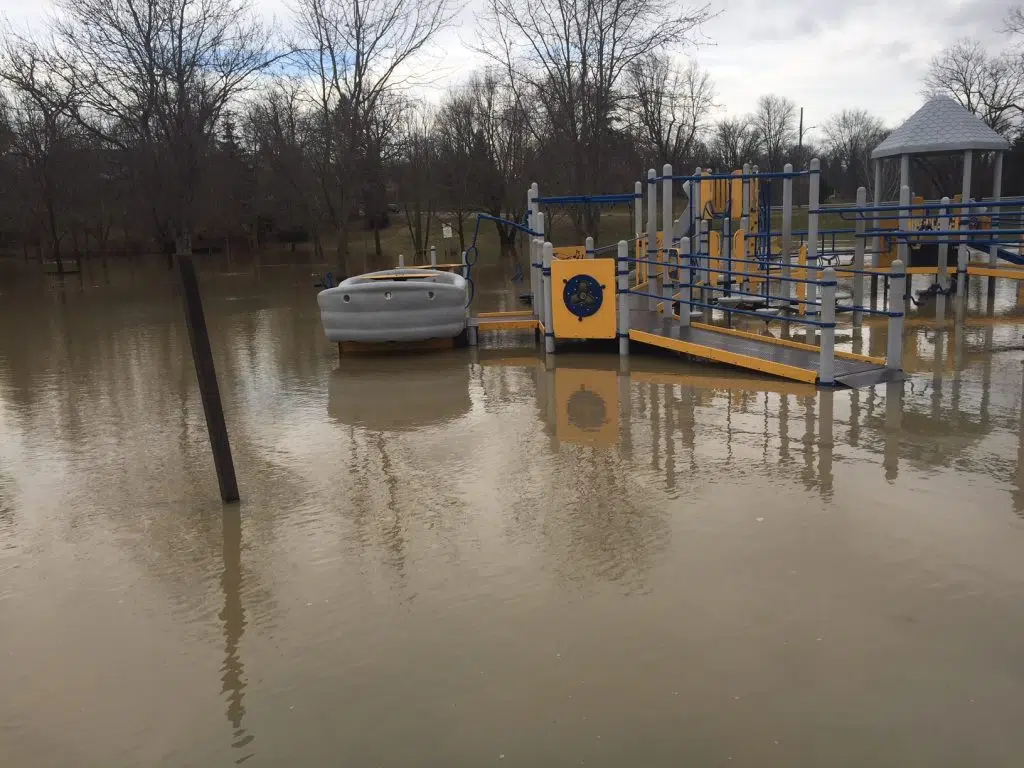
Warmer temperatures and steady rainfall over the next several days are expected to push water levels higher in local rivers and streams.
A slow-moving weather system will remain over the region for much of the week, bringing between 20 and 35 millimetres of rain along with above-freezing temperatures. The heaviest rainfall is forecast for late Tuesday and continuing through Wednesday.
There is still a significant amount of water locked in the existing snowpack. With the ground already saturated and unable to absorb additional moisture, rainfall combined with snowmelt will quickly run off into nearby waterways. As a result, rivers and streams are expected to rise, and low-lying areas that typically experience spring flooding may see water overflow. Elevated water levels could persist into next week.
Municipal staff are advised to monitor local conditions closely, particularly in areas known for drainage issues. In rural locations, drifting snow may have filled ditches and smaller watercourses, potentially restricting drainage during runoff and increasing the risk of localized flooding.
Residents are urged to stay away from rivers, streams, and flooded areas. Banks may be unstable, ice cover is unsafe, and fast-moving, cold water poses serious danger. Children and pets should be kept well back from all waterways.
The Conservation Authority continues to monitor conditions across the watershed and will provide updates to municipalities and media if flooding concerns develop. Municipal emergency personnel and road supervisors are encouraged to remain vigilant.
This advisory remains in effect until 12 p.m. Friday, February 20, 2026, unless updated.
Written by: C. Soares